This tough 14 mile walk covers half the classic Edale Skyline route, a great day out and perfect precursor to the full skyline adventure!
Distance: 13.82m / Elev Gain: 3352ft
High Point: Ringing Roger - 550m
Map: OS Explorer OL1
GPS Download: Edale Skyline Half
Starting Point: Mam Nick Car Park
Route Highlights include Mam Tor (517m), Back Tor (438m), Lose Hill (476m), Win Hill (463m), Ringing Roger (550m) and Edale village.
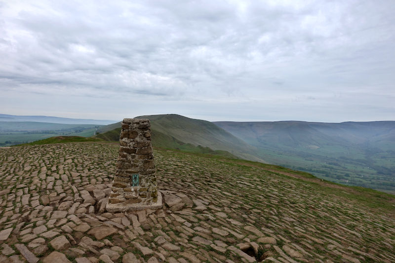
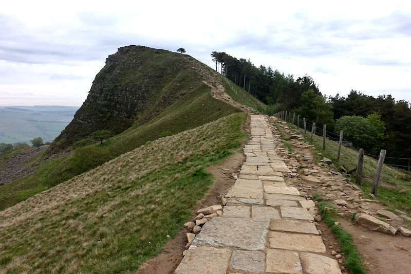
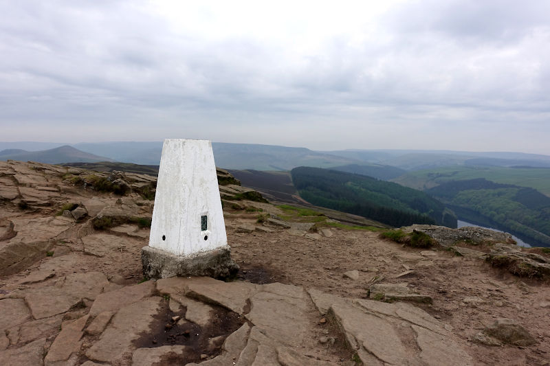
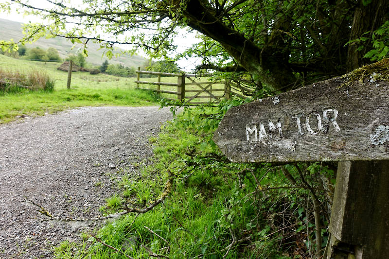
I leave Mam Nick car park early doors for the short, steep ascent of Mam Tor. From the summit trig, much of the Edale skyline route is visible, on what is a fine albeit hazy day. A straight forward traverse of the classic Great Ridge is briefly interrupted just shy of Back Tor by some inquisitive cows, to whom I give an extra wide berth as I sneak by!
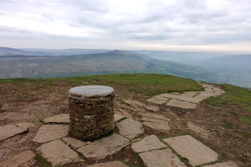
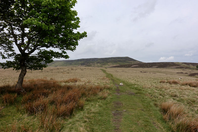
From the summit of Lose Hill I stare intently towards Win Hill, which from this situation looks distinctly like a volcanic cone – albeit a local fell runner put me straight on that one!
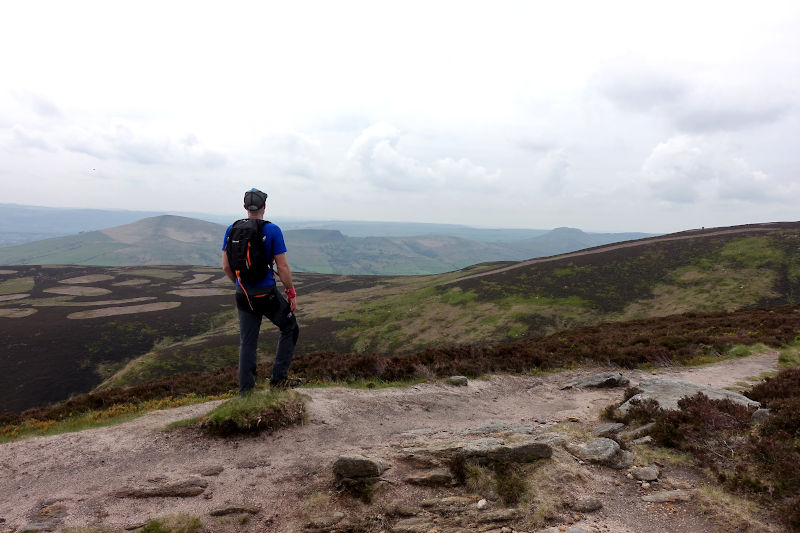
I’d not previously walked on Win Hill, and was somewhat surprised by the long and in parts steep approach from Edale Road – an elevation gain of almost 1,000ft! A short and easy (but not necessary) scramble takes me to the rocky summit plateau, and presents majestic lofty views of Ladybower reservoir and the surrounding landscape – the densely packed woodland is particularly impressive.
From Win Hill I get a jog on for the next couple of miles, taking advantage of the steady downward gradient and uncomplicated terrain. I join the Roman Road, familiar to me from previous Peak District mountain bikes rides, and from which the view of the Edale valley is sublime.
The steady ascent of Crookstone Knoll is uneventful, and as I traverse the wild uplands of the Edale valley I bump into a bloke from Castleford enjoying a pre-bank holiday overnighter – although the size (and no doubt weight) of his pack suggested he was heading out for much longer!
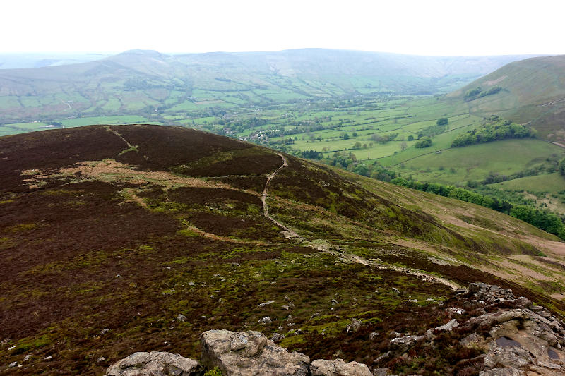
The rocky outcrop of Ringing Roger is on this occasion the exit point from the Edale skyline route, after some boulder hopping and scrambling about (just for fun!) my tired legs descend to Edale against a steady flow of hikers.
I overcome the temptation of Edale’s amenities, fully aware the day isn’t quite over. The ascent from Edale to the base of Mam Tor is very much the sting in the tail of this walk, especially so as I unexpectedly take the final glug of my water – and curse myself for not topping up when I had the opportunity!
A final effort brings me back to the Mam Tor path I’d walked up just a few hours earlier, though now awash with human traffic – I was glad my day was done, and celebrated with a partially crushed banana back at the car – nice!